Trafalgar Square is a public square that features some of London’s top attractions, from galleries and historic buildings to statues and monuments. It also plays host to a range of events throughout the year that are supported by the Greater London Authority, who manage the square.
Trafalgar Square
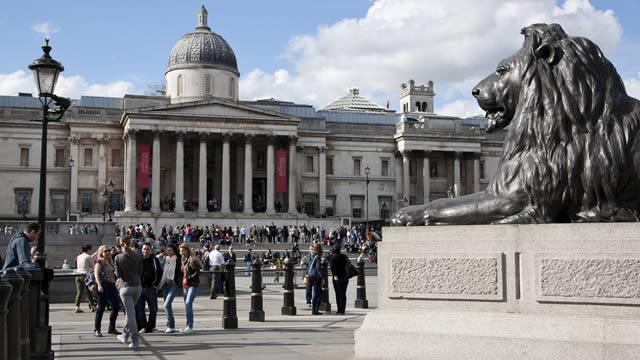
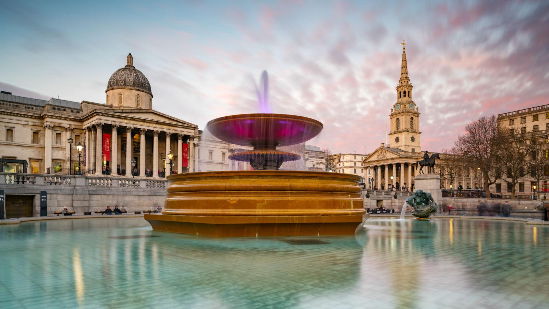
LondonTrafalgar Square is in Westminster, in central London. Charing Cross is the nearest station (Underground and local train services). It’s surrounded by the National Gallery to the north; St Martins-in-the-Fields Church and The Strand to the east; Whitehall to the south; and Admiralty Arch and The Mall to the south west.
Scroll down to the venue and map tab below for a Trafalgar Square map.
Trafalgar Square is named after Britain’s victory in the Battle of Trafalgar in 1805. Although Britain won, war hero Admiral Lord Horatio Nelson was killed during the battle on his ship, HMS Victory. Nelson's contribution was remembered with Nelson’s Column, a key feature of the square.
The site of Trafalgar Square was previously the Royal Mews from the 14th to the 17th centuries. The mews moved to its current location at Buckingham Palace in the early 19th century.
John Nash subsequently redesigned the square, which officially opened in 1844. More recently, it was redeveloped to include a pedestrianised area at the north of the square in 2003.
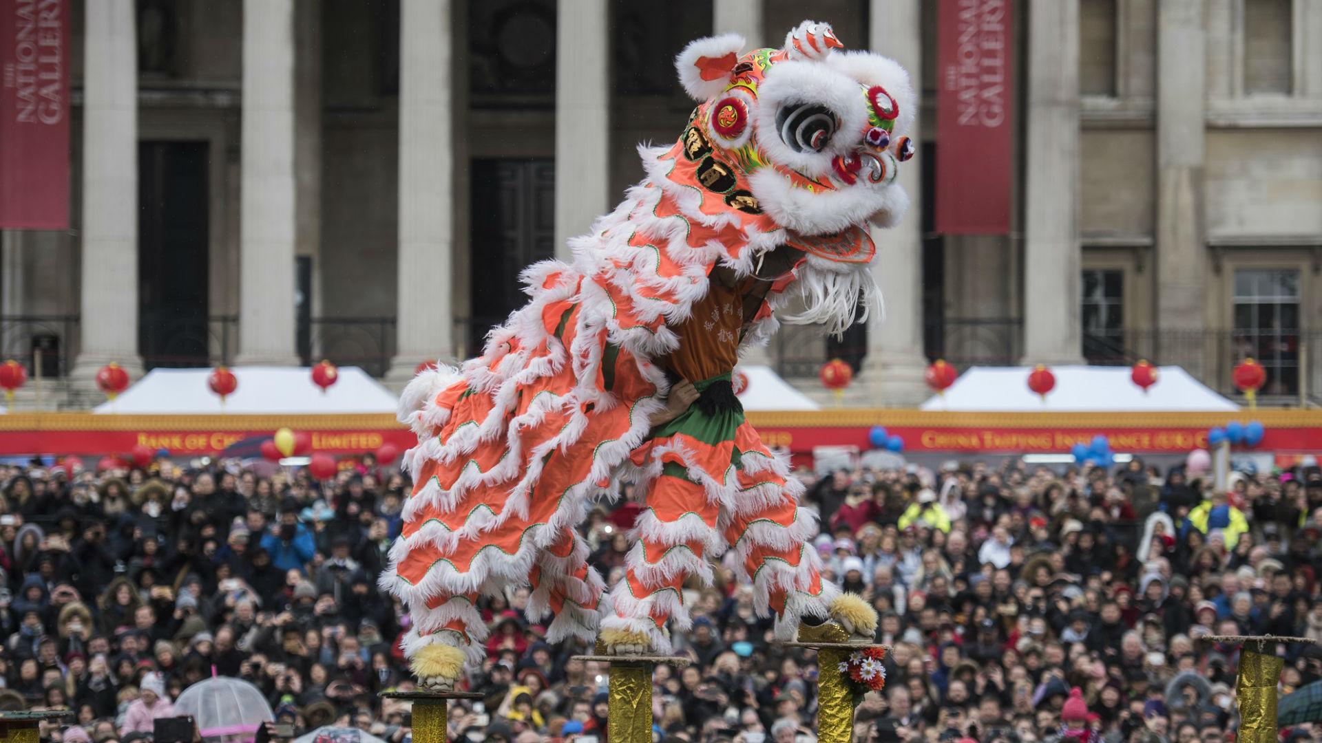
During its history, the square has been a place for protests, demonstrations and large-scale events, which continues to this day.
Address
Trafalgar Sq, London WC2N 5DN, United Kingdom


